Connect to the world’s leading providers to power geospatial workflows. Optimize data management and processing, with project planning support to turn concept into delivery faster.
Connect to the world’s leading providers to power geospatial workflows. Optimize data management and processing, with project planning support to turn concept into delivery faster.
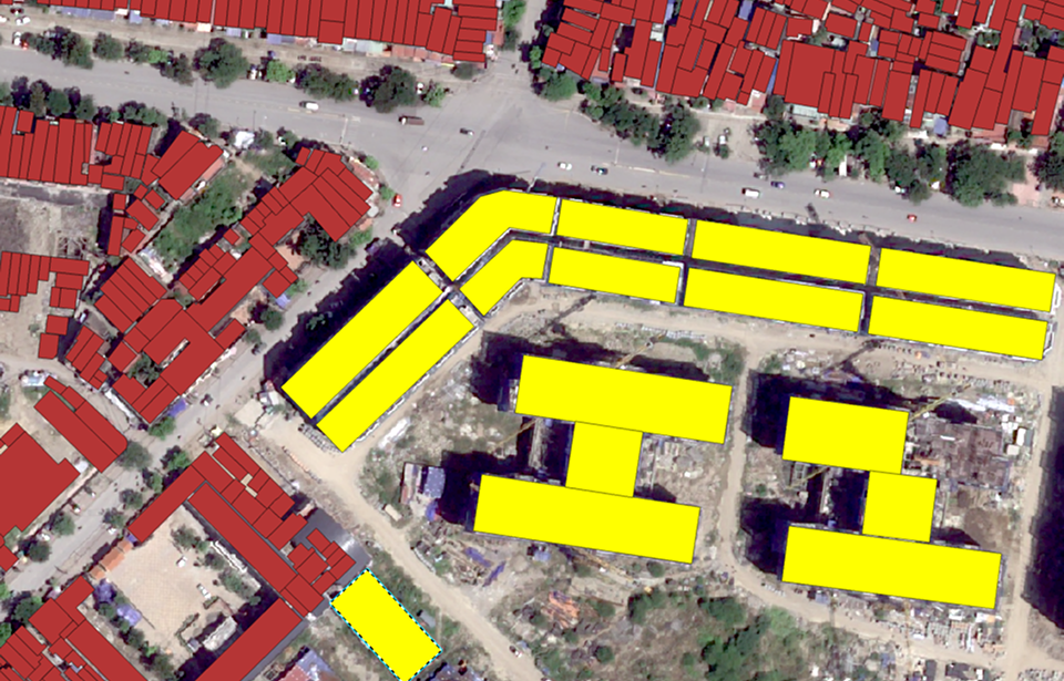
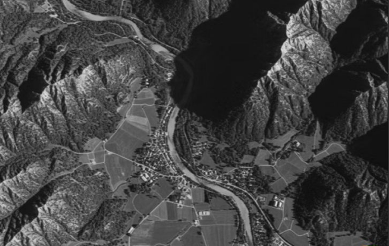
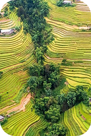
Land Use Change Monitoring is an application that automatically detects modifications in land utilization at specific times. The tool employs very-high resolution remote sensing data combined with object classification models to support land use monitoring, management, and surveillance.
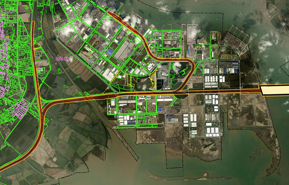
The railway corridor monitoring application for the Lao Cai – Hanoi – Hai Phong route uses remote sensing imagery combined with artificial intelligence to automatically detect and extract information on buildings, houses, and newly cultivated areas.
The system enables tracking of newly emerged structures after planning boundaries are established, detection of illegal constructions, updating land acquisition progress, and monitoring construction activities, with a feasible observation frequency of weekly or biweekly.
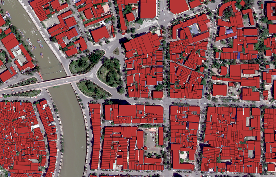
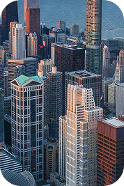
This is an application that uses object recognition technology from high-resolution remote sensing images. The application provides detailed information on the number of houses and their sizes in urban areas.
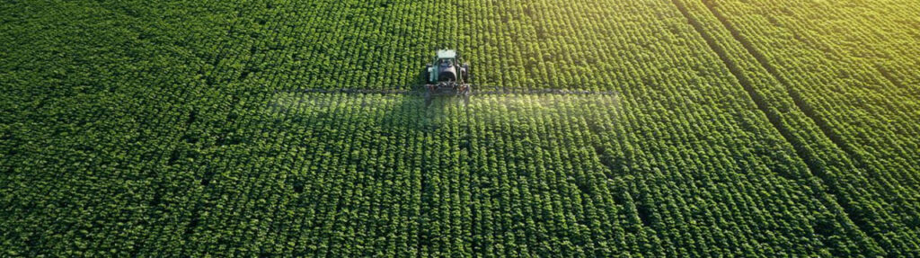
Surface Change Detection Application utilizes geospatial data to monitor and measure surface object transformations within specific areas across different time periods.
Our partners are the world’s leading data providers to power geospatial workflows. Optimize data management and processing.
Digital Twin
Integrating real-world spatial information into dynamic virtual models. It enables real-time monitoring, predictive analysis, and smarter decision-making.
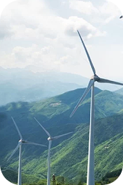
By identifying resource locations, monitoring infrastructure, and improving grid efficiency. It supports renewable energy planning, environmental assessment.
Tracks changes, biodiversity loss, and climate change impacts through landscape-oriented products like land cover maps, derived from remote sensing data
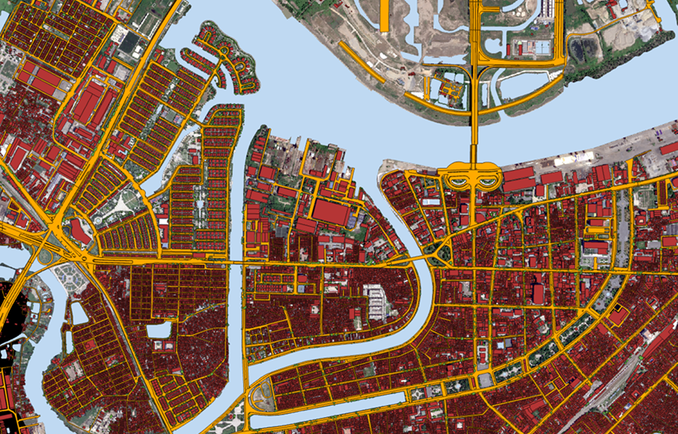
Mapping infrastructure, monitoring land use, and guiding smart city planning, enabling authorities to optimize civilian factors with data-driven insights.