Experience a seamless way to manage and analyze remote sensing imagery. Our intuitive platform provides advanced tools for data organization and professional analysis, making high-quality space data accessible and easy to use for everyone.
We are committed to providing professional data analysis services to a global audience. Our mission is to simplify satellite imagery processing, making high-quality insights available to everyone, everywhere, without technical barriers.
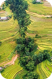
Discover a powerful cloud-based platform for object detection and vegetation mapping. Run complex analysis directly on our platform, eliminating the need for expensive hardware or specialized software while ensuring high-quality results with simple steps.
Quickly, conveniently, and automatically access remote sensing data processing tools powered by advanced AI. Users simply select the data source and the desired tool, and the results are delivered by email or visualized directly on a digital map.
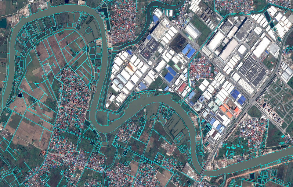
Object identification & classification
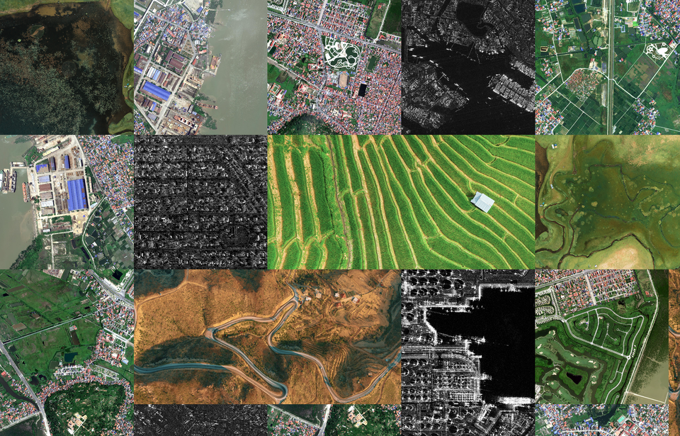
The system supports detection and classification of various objects from remote sensing imagery, including roads, buildings, cars, ships, aircraft, and many other targets, organized into specific classes.
Data visualization
At the same time, the platform enables access to multi-source data displayed on digital maps for visualization, analysis, and flexible customization based on user needs.
Imagery processing tools
At the same time, the platform enables access to multi-source data displayed on digital maps for visualization, analysis, and flexible customization based on user needs.
Imagery
Processing Tools
This cloud-based platform operates entirely on the provider's servers, allowing users to perform advanced remote sensing tasks online without the need for specialized software or hardware.
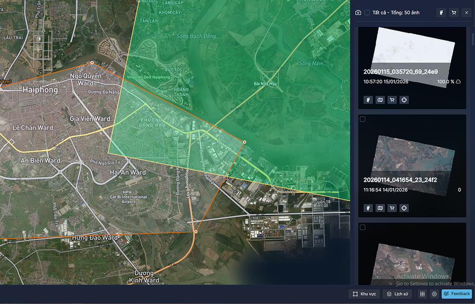
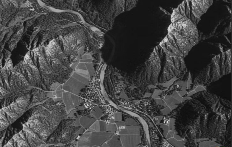
Access an international-standard digital storage for large-scale satellite imageries. This platform allows you to search for specific areas over time, manage diverse data from various providers, and download images anytime without complexity.
Easily manage and query massive GIS datasets with our intuitive online platform. We provide a high-capacity, professional workspace that simplifies spatial data searching, ensuring high-quality results for all users without the need for specialized hardware.
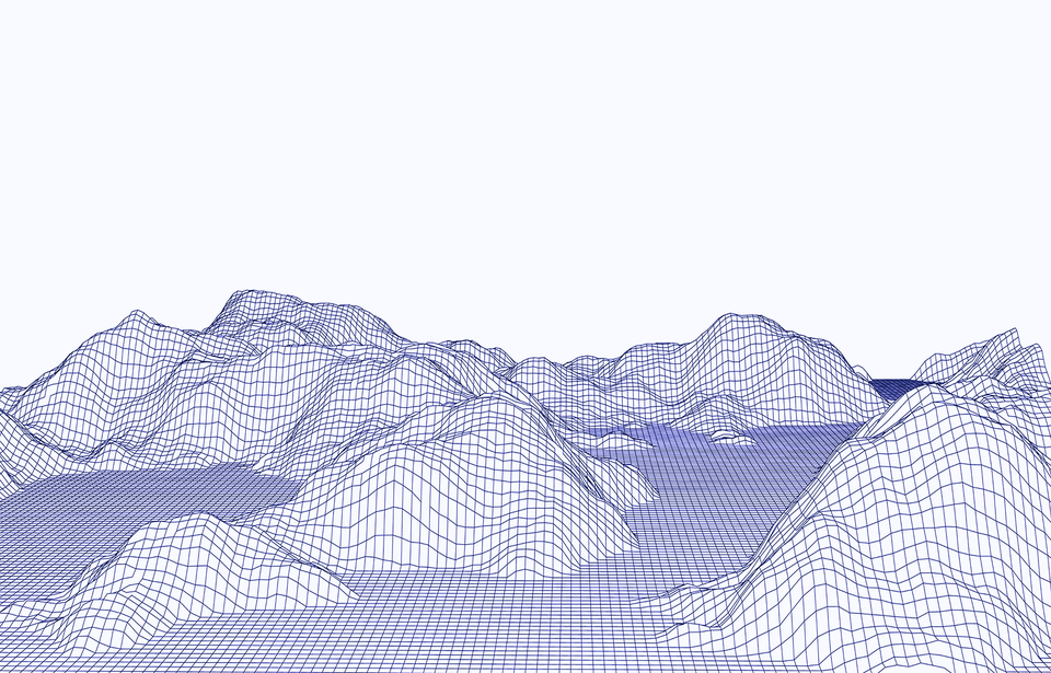
Experience a seamless cloud-based solution for processing diverse 3D terrain data. This user-friendly platform allows you to manage and transform multiple topographic formats into actionable 3D models with just a few simple clicks.
Our partners are the world’s leading data providers to power geospatial workflows. Optimize data management and processing.
Digital Twin
Integrating real-world spatial information into dynamic virtual models. It enables real-time monitoring, predictive analysis, and smarter decision-making.
By identifying resource locations, monitoring infrastructure, and improving grid efficiency. It supports renewable energy planning, environmental assessment.
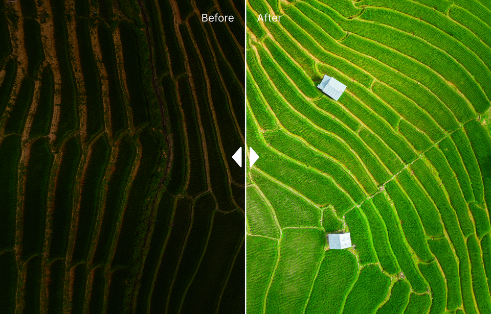
Tracks changes, biodiversity loss, and climate change impacts through landscape-oriented products like land cover maps, derived from remote sensing data
Mapping infrastructure, monitoring land use, and guiding smart city planning, enabling authorities to optimize civilian factors with data-driven insights.