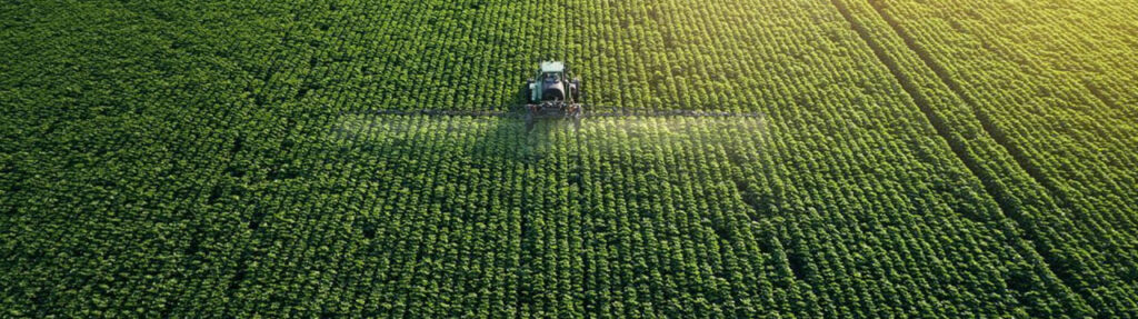


Geospatial data collection
Provides connection to satellite imagery database from the world’s leading data providers. Optimized for data query and management, support project planning.
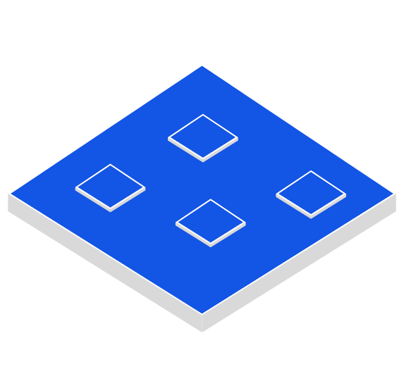
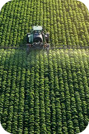
Agriculture monitoring
Uses remote sensing data as input for algorithmic models. Provides information layers for detecting rice cultivating areas, and monitoring seasonal crop development.
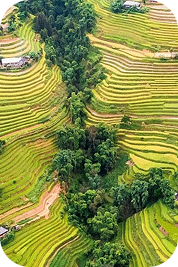
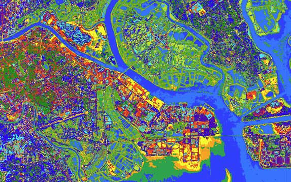
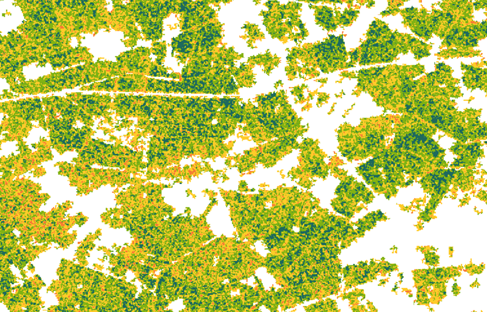
Surface Classification
Combined approach leveraging satellite data to analyze and identify various surface cover types on Earth, such as forest, land, urban areas, water bodies, and others.
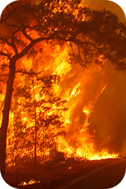
Statistical Analysis Reports
Provides real-time information on the current damage status in a given location. On an interactive map, damage points are indicated together with precise analysis and reports.
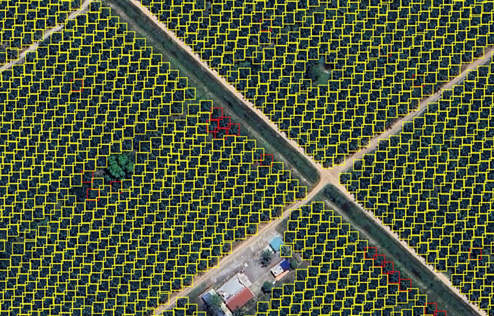
Palm tree monitoring
This palm tree detection application supports the automatic identification, counting of individual trees, and estimation of plantation area using high-resolution satellite imagery (0.3m and 0.5m).
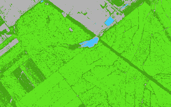
Rice monitoring
This application uses remote sensing data from Sentinel-1 and Sentinel-2 satellites, combined with Random Forest and Support Vector Machine algorithmic models.
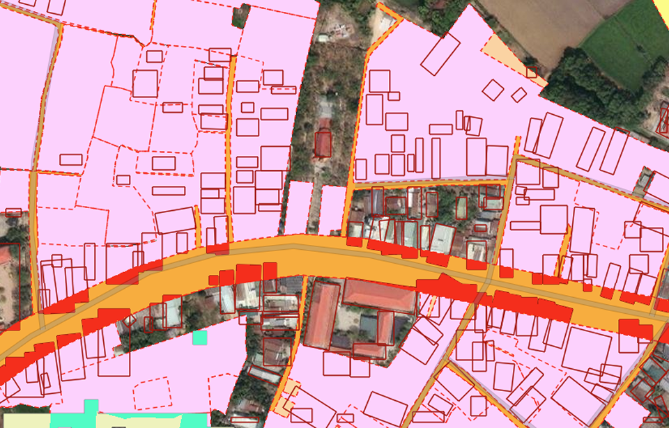
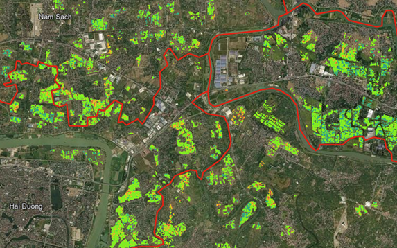
Land use monitoring
An application that automatically detects modifications in land utilization at specific times.
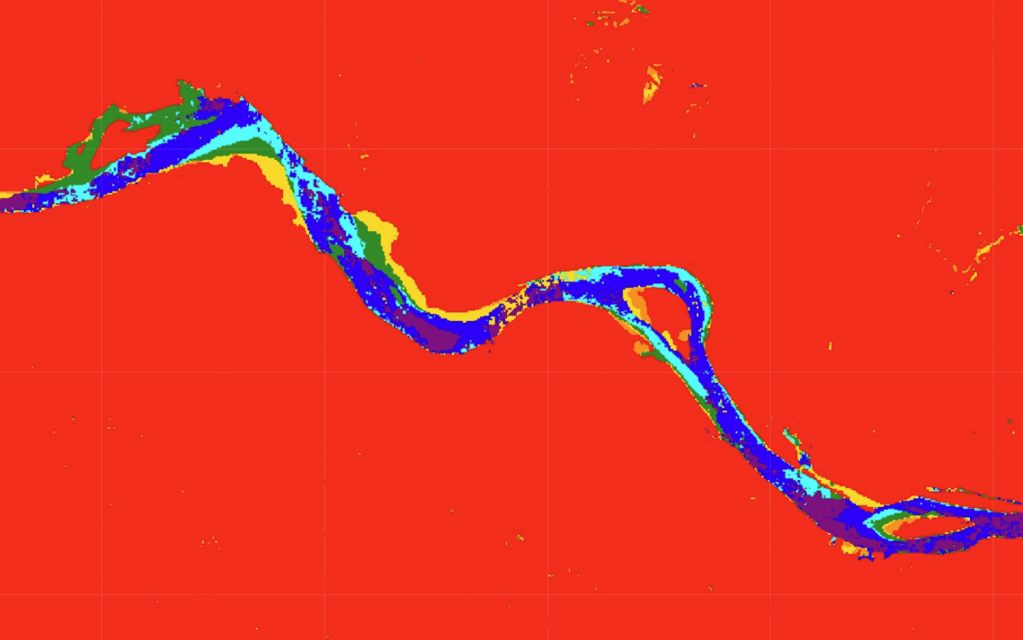
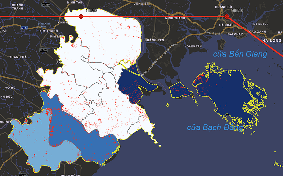
Coastline change monitoring
An application for shoreline change monitoring using remote sensing data and classification models to track shoreline variations over time.