Precision Grows Here. Cutting-edge spatial intelligence is transforming how agriculture operates, delivering actionable insights that redefine what modern farming can achieve.
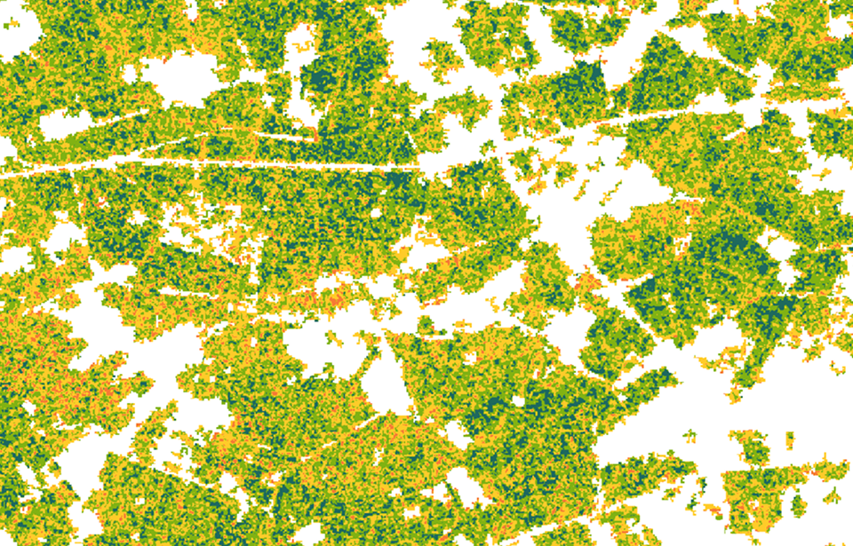
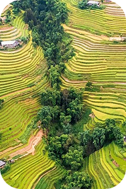
This application uses remote sensing data from Sentinel-1 and Sentinel-2 satellites, combined with Random Forest and Support Vector Machine algorithmic models.
The application supports farmers and agricultural management agencies to map rice cultivation areas, thereby providing appropriate measures, increasing crop productivity and agricultural effectivenes.
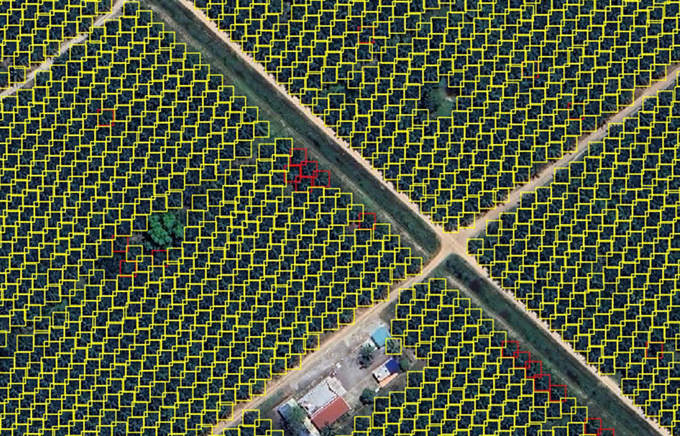
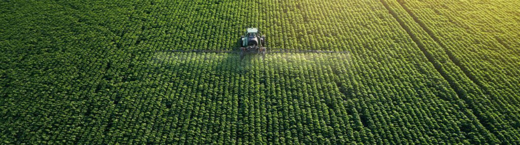
Palm tree detection application supports the automatic identification, counting of individual trees, and estimation of plantation area using high-resolution satellite imagery (0.3m and 0.5m).
The solution helps reduce survey time and labor costs, while supporting effective agricultural monitoring, management, and planning with an estimated accuracy of around 80%.
Our partners are the world’s leading data providers to power geospatial workflows. Optimize data management and processing.
Digital Twin
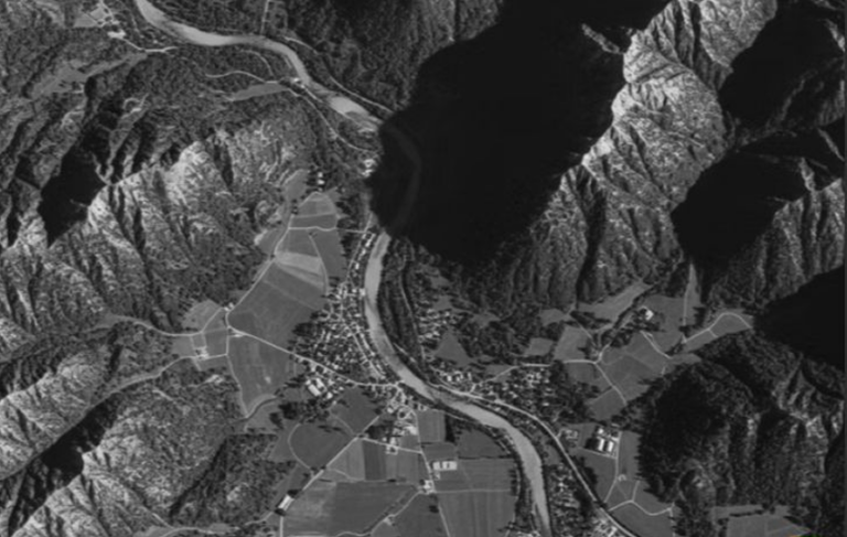
Integrating real-world spatial information into dynamic virtual models. It enables real-time monitoring, predictive analysis, and smarter decision-making.
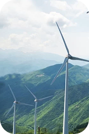
By identifying resource locations, monitoring infrastructure, and improving grid efficiency. It supports renewable energy planning, environmental assessment.
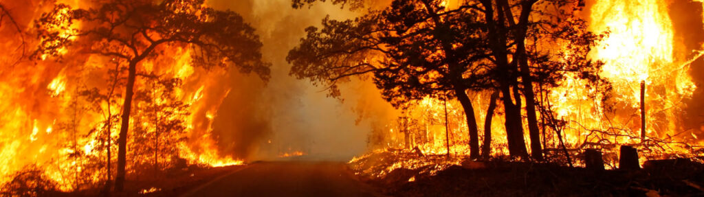
Tracks changes, biodiversity loss, and climate change impacts through landscape-oriented products like land cover maps, derived from remote sensing data
Mapping infrastructure, monitoring land use, and guiding smart city planning, enabling authorities to optimize civilian factors with data-driven insights.