Our service offers the intellectual and strategic framework required to navigate the high-stakes, low-margin-for-error environment of the "New Space" economy.
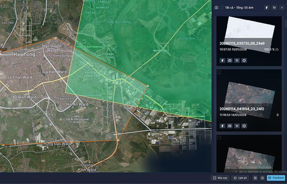
Connect to the world’s leading providers to power geospatial workflows. Optimize data management and processing, with project planning support to turn concept into delivery faster.
Connect to the world’s leading providers to power geospatial workflows. Optimize data management and processing, with project planning support to turn concept into delivery faster.
Connect to the world’s leading providers to power geospatial workflows. Optimize data management and processing, with project planning support to turn concept into delivery faster.
Connect to the world’s leading providers to power geospatial workflows. Optimize data management and processing, with project planning support to turn concept into delivery faster.
Connect to the world’s leading providers to power geospatial workflows. Optimize data management and processing, with project planning support to turn concept into delivery faster.
Connect to the world’s leading providers to power geospatial workflows. Optimize data management and processing, with project planning support to turn concept into delivery faster.
Our partners are the world’s leading data providers to power geospatial workflows. Optimize data management and processing.
Digital Twin
Integrating real-world spatial information into dynamic virtual models. It enables real-time monitoring, predictive analysis, and smarter decision-making.
By identifying resource locations, monitoring infrastructure, and improving grid efficiency. It supports renewable energy planning, environmental assessment.
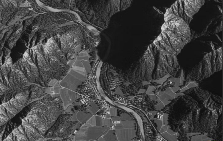
Tracks changes, biodiversity loss, and climate change impacts through landscape-oriented products like land cover maps, derived from remote sensing data
Mapping infrastructure, monitoring land use, and guiding smart city planning, enabling authorities to optimize civilian factors with data-driven insights.