Behind every meaningful sustainability initiative lies a collective responsibility - to understand our environment with a high level of clarity and precision.
We deliver advanced intelligent solutions that empower decision-makers to monitor critical change, respond with confidence and create powerful, lasting impacts.
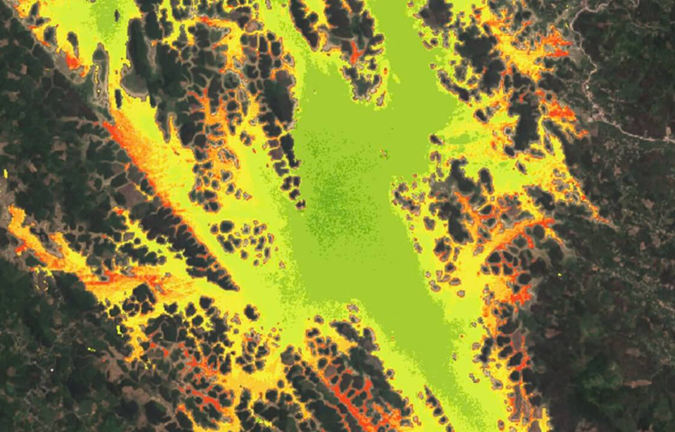
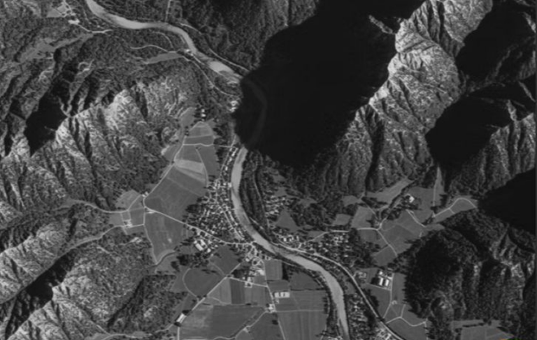
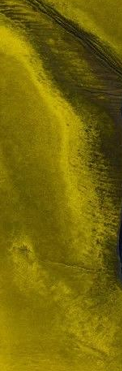
Using remote sensing data from the Sentinel-2 satellite, combined with characteristic indices, is a highly effective method for monitoring and assessing the condition of natural water resources. Sentinel-2 imagery supports the acquisition of optical images of water bodies, providing high-quality visual information about water features and their surrounding environment.
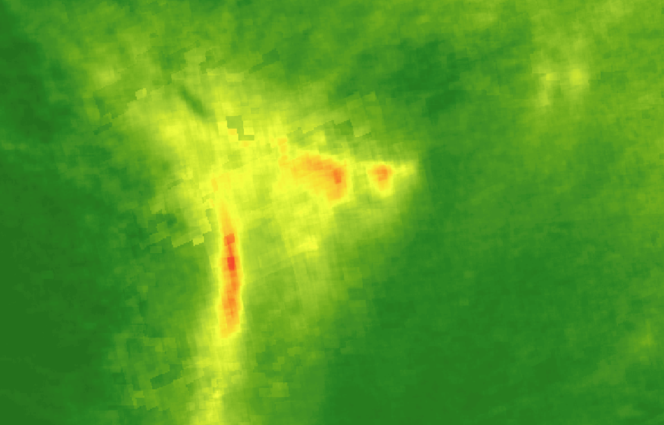
Air quality monitoring using remote sensing data from the Sentinel-5P satellite is a powerful method for tracking and assessing air quality, particularly with respect to harmful emissions such as ozone (O₃), nitrogen dioxide (NO₂), sulfur dioxide (SO₂), carbon monoxide (CO), and fine particulate matter (PM₂.₅).
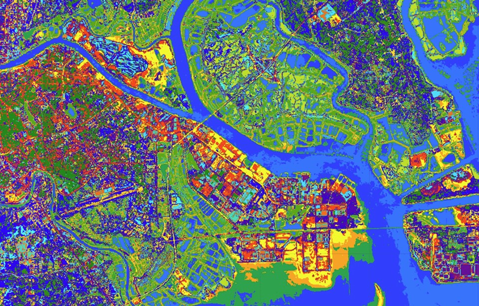
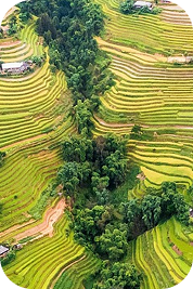
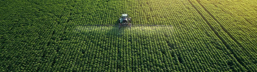
The application of surface cover classification using remote sensing data is a combined approach leveraging satellite data to analyze and identify various surface cover types on Earth, such as forest cover, agricultural land, urban areas, water bodies, and other natural regions.
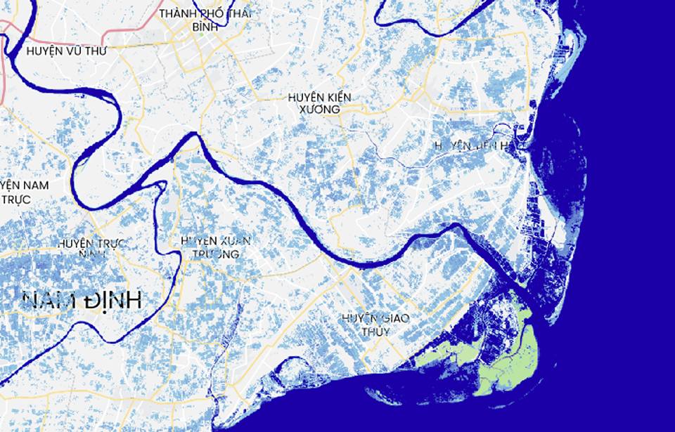
Water surface information uses multi-source, multi-temporal remote sensing data to support monitoring and management of water resources. This data can support management of water resources, rivers, irrigation, agriculture, and land use planning and use. Data is updated to 2021.
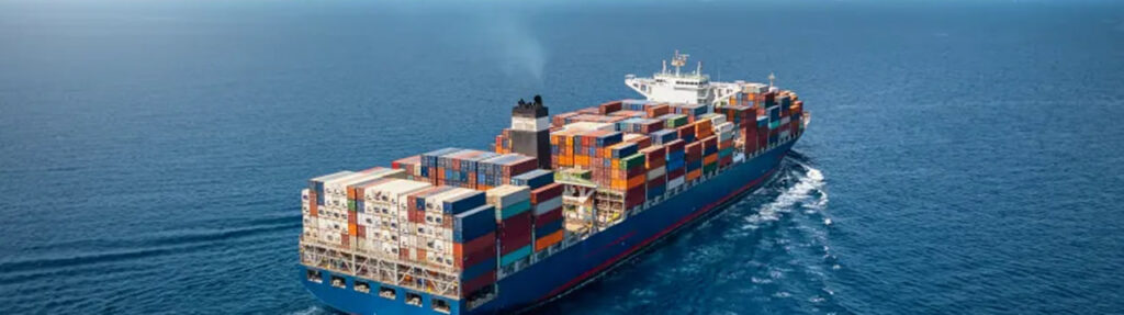
Our partners are the world’s leading data providers to power geospatial workflows. Optimize data management and processing.
Digital Twin
Integrating real-world spatial information into dynamic virtual models. It enables real-time monitoring, predictive analysis, and smarter decision-making.
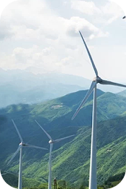
By identifying resource locations, monitoring infrastructure, and improving grid efficiency. It supports renewable energy planning, environmental assessment.
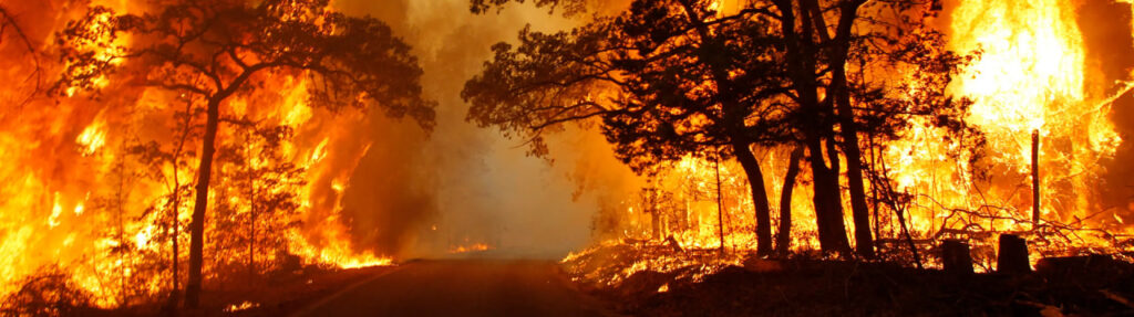
Tracks changes, biodiversity loss, and climate change impacts through landscape-oriented products like land cover maps, derived from remote sensing data
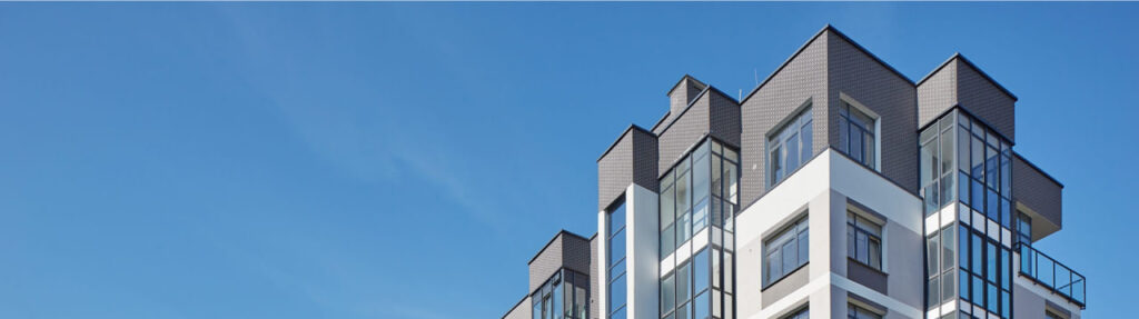
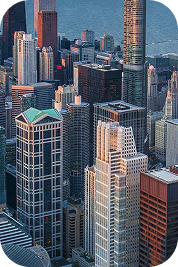
Mapping infrastructure, monitoring land use, and guiding smart city planning, enabling authorities to optimize civilian factors with data-driven insights.