
Powerful.Fast.Accurate.
its happening
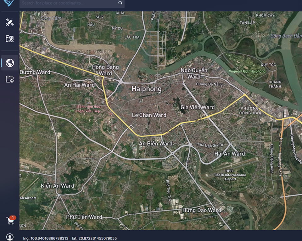
Vega Virtual multi Receiving Station (VmRS)
Optimize data management and processing, with project planning support to turn concept into delivery faster.
Connect to the world’s leading providers to power geospatial workflows.
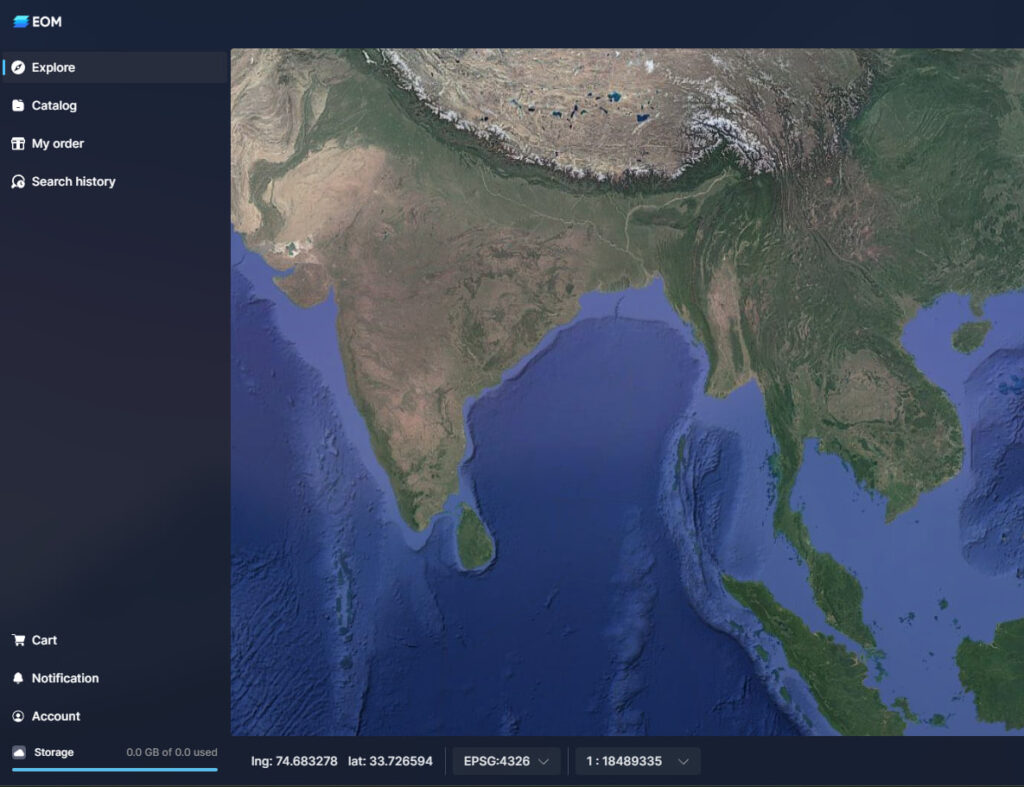
Vega Virtual multi Receiving Station (VmRS)
Optimize data management and processing, with project planning support to turn concept into delivery faster.
Connect to the world’s leading providers to power geospatial workflows.
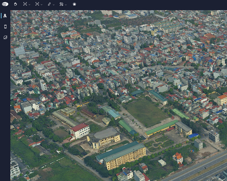
Vega Virtual multi Receiving Station (VmRS)
Optimize data management and processing, with project planning support to turn concept into delivery faster.
Connect to the world’s leading providers to power geospatial workflows.
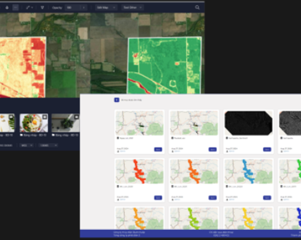
Vega Virtual multi Receiving Station (VmRS)
Optimize data management and processing, with project planning support to turn concept into delivery faster.
Connect to the world’s leading providers to power geospatial workflows.
Vega Virtual multi Receiving Station (VmRS)
Optimize data management and processing, with project planning support to turn concept into delivery faster.
Connect to the world’s leading providers to power geospatial workflows.
Vega Virtual multi Receiving Station (VmRS)
Optimize data management and processing, with project planning support to turn concept into delivery faster.
Connect to the world’s leading providers to power geospatial workflows.